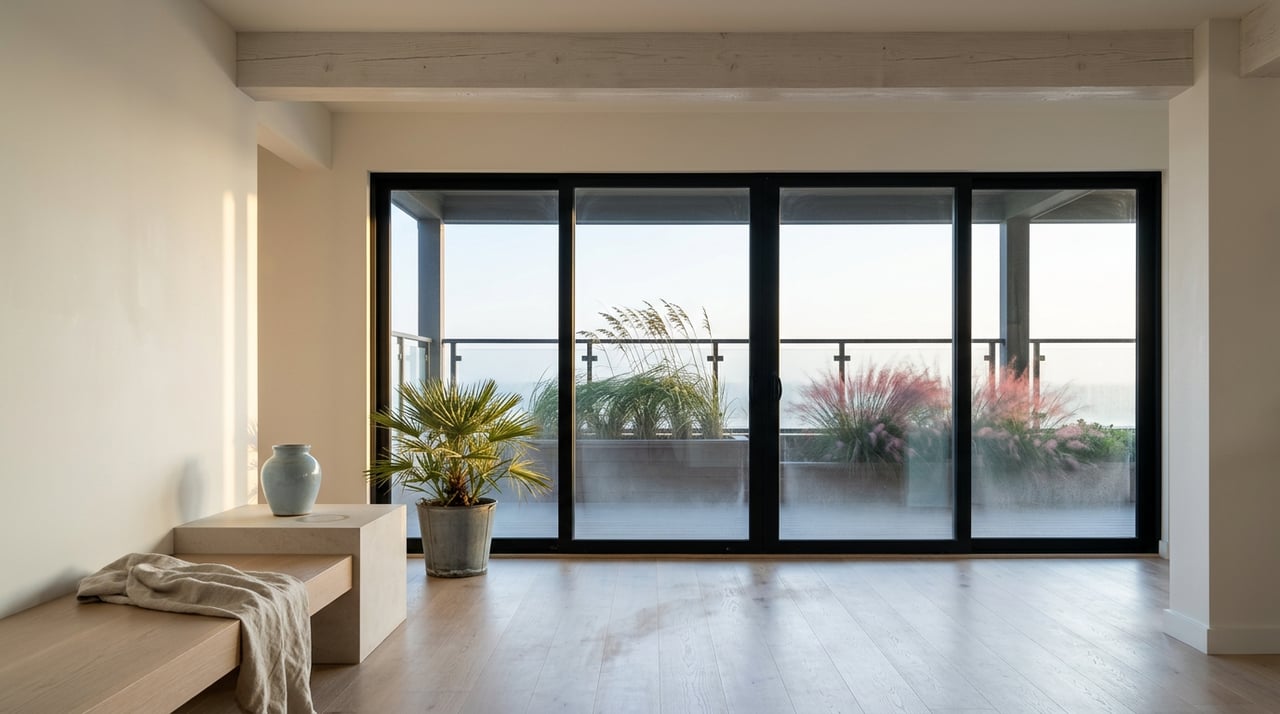
Ride the Timpoochee Trail west to east and for the first four miles your legs barely notice you're pedaling. The path runs flat past Topsail Hill Preserve, flat past Stinky's Fish Camp, flat past the Ed Walline beach access with its two-story viewing tower. Then, just past the covered bridge over Draper Lake, the ground tilts up. Not dramatically. Just enough that you shift down a gear, and enough that everyone on two wheels or two feet slows to the same unhurried pace at the same spot on the map.
That spot is Blue Mountain Beach. And the incline is not scenery. It is the reason this stretch of 30A organizes itself the way it does.
The Timpoochee Trail runs about 18.5 miles from Topsail Hill Preserve State Park to Inlet Beach, and for nearly its entire length it stays close to sea level, threading between coastal dune lakes and beach access points on ground so level you could ride it with your eyes closed. Blue Mountain Beach breaks that pattern. The community sits on a ridge that tops out around 65 feet above sea level, the highest point on the entire Gulf of Mexico coastline, and the name follows from what used to grow there: fields of native blue lupine that gave the dunes a soft blue cast when viewed from the water.
That ridge is not a curiosity you read on a plaque. It is the only place along the trail's 18.5 miles where the terrain itself asks you to stop pedaling as hard.
Here is what most guides to this stretch miss. They list Blue Mountain Bakery, Blue Mountain Beach Creamery, and For the Health of It as three separate stops worth a visit, as though their location were incidental. It is not. All three sit clustered right around the point where the trail's grade peaks, which means every cyclist, dog-walker, and stroller-pushing parent who has just spent the last quarter mile working slightly harder than usual arrives at exactly the spot where a cinnamon roll, a scoop of ice cream, or a smoothie is waiting. The commercial cluster did not get placed there by a master developer drawing a town square on a plat map. It formed because that is where human effort naturally wants to end.
Compare that to Mile 4, a half mile back down the hill, where Local Catch Bar & Grill and Basmati's sit near the Draper Lake bridge. Those two draw a different crowd at a different hour: the happy hour stop before the climb, the sit-down dinner reservation, the fish tacos crowd that hasn't broken a sweat yet. Keep riding past the bakery cluster and the trail eases back down past Big Redfish Lake, Little Redfish Lake, and Alligator Lake, three of the roughly fifteen named coastal dune lakes in South Walton, a landform so rare it shows up in only a handful of places worldwide. The businesses do not scatter evenly along that corridor the way they might in a flatter neighborhood. They stack at the top of the one hill on the whole trail, because that is where the crowd naturally gathers to catch its breath.
| Approximate Mile | What's There | Why It's There |
|---|---|---|
| Mile 4 | Local Catch Bar & Grill, Basmati's, Draper Lake covered bridge | Pre-climb stop, dinner and happy hour crowd |
| Mile 5 | Blue Mountain Bakery, Blue Mountain Beach Creamery, For the Health of It | The grade peaks here, so does foot traffic |
| Miles 6-7 | Big Redfish, Little Redfish, and Alligator Lakes | Quiet stretch past the commercial cluster, birdwatching territory |
Long before there was a paved trail to climb, the same high ground shaped how people built here. Blue Mountain Beach was homesteaded in 1910 by three families, the Drapers, the Petersons, and the Wallines, and the neighborhood still carries their imprint in the Brickyard District, a cluster of brick homes that sits apart from the wood-frame cottages more typical of 30A. Brick construction on a barrier coast is unusual enough that it says something about the builders who chose it: people settling on the one piece of high, stable ground for miles in either direction, and building to last on it.
That history matters for a simple reason. Blue Mountain Beach never had the benefit, or the constraint, of a single master plan the way Seaside or WaterColor did. Nobody drew this community from a blank slate. It grew the way settlements grow when the land itself makes some decisions, and the ridge that gives the trail its one incline is the same ridge that gave the earliest residents their one spot worth building brick homes on.
Not every gathering point in Blue Mountain Beach sits on the trail. Padgett Park, tucked onto 17 acres off J.D. Miller Road behind South Walton High School, gives inland families the same kind of earned-reward loop the trail gives beachgoers. The park includes a handicap accessible playground, an enclosed splash pad, two pavilions, a multi-use asphalt trail, soccer and football fields, and a community center with a kitchenette that can be reserved for gatherings. It was named for Timothy Padgett, a Walton County Special Forces medic who died in the line of duty in Afghanistan in 2007, and his mother has said the park carries his memory forward for the community he grew up in.
Unlike the bakery cluster on the trail, Padgett Park was built with intention rather than grown by accident. But it serves the identical function. On a hot September afternoon, a kid who has just run three laps around the soccer field wants the splash pad the same way a cyclist who has just crested the trail's one hill wants a cinnamon roll. Both are rewards earned by effort, at a spot the neighborhood settled on rather than one assigned to it from outside.
Put the pieces together and Blue Mountain Beach starts to look less like a beach town with a quirky elevation fact and more like a place whose entire daily rhythm traces back to the shape of the land underneath it. The trail's only incline decided where the snack stops would cluster. The same ridge decided where the earliest brick homes went up. And even the newest, most deliberately built gathering spot, Padgett Park, mirrors that same logic of effort followed by reward, just a few miles inland from the Gulf.
Most guides to this stretch of 30A treat the elevation as a fun fact to mention once and move past. It is closer to the neighborhood's organizing principle. Every cluster of businesses, every historic building choice, every family routine here traces back to the same low ridge that keeps this half mile of an otherwise flat trail just a little bit harder to pedal, and just a little more worth the stop at the top.
If you already call this stretch of 30A home and you're ever curious how that same sense of place translates into value when it comes time to make a move, The Spears Group knows this ridge, this trail, and this bakery line as well as anyone working the coast. A conversation costs nothing, and a complimentary market valuation and marketing plan is always on the table when you're ready for one.
Office 2048 West County Hwy 30A #107 Santa Rosa Beach FL 32459
Office 2048 West County Hwy 30A #107 Santa Rosa Beach FL 32459